
सञ्चिका:Singapore location map (main island).svg

पूर्वावलोकन PNG का आकार SVG फ़ाइल: ८०० × ५०८ पिक्सेल् अन्याः प्रस्तावाः: ३२० × २०३ पिक्सेल् | ६४० × ४०६ पिक्सेल् | १,०२४ × ६५० पिक्सेल् | १,२८० × ८१२ पिक्सेल् | २,५६० × १,६२५ पिक्सेल् | ३,२४७ × २,०६१ पिक्सेल् ।
मूलसञ्चिका (SVG सञ्चिका, साधारणं ३,२४७ × २,०६१ चित्राणवः (pixels), सञ्चिकायाः आकारः : ३०९ KB)
.svg)
सारांशः
| वर्णनम् |
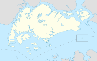
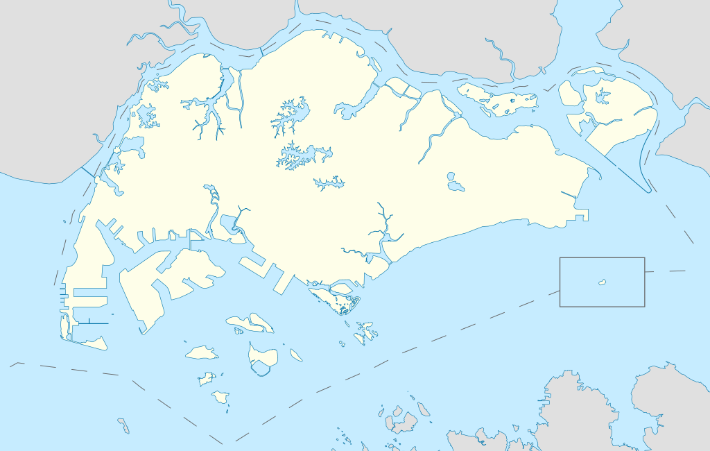
English: Locator Map for Singapore's main island, with Pedra Branca as an insert |
| दिनाङ्क | |
| स्रोतः | स्वकार्यम् |
| लेखकः | Seloloving |
अनुमतिदानम्
अहम्, अस्य कार्यस्य कृतिस्वाम्यवान्, अत्र अस्याः अनुमतिद्वारा प्रकाशयन् अस्मि :
इस फ़ाइल को क्रिएटिव कॉमन्स श्रेय-समानसांझा 4.0 अंतर्राष्ट्रीय लाइसेंस के अंतर्गत लाइसेंस किया गया है।
- त्वं स्वतन्त्रः/स्वतन्त्रा :
- वितरितकरणार्थम् – प्रतिलिपिकरणार्थं, वितरितकरणार्थं, सञ्चारितकरणार्थं च
- सुशोभयितुम् (to remix) – कार्यम् अनुकूलं करणार्थम्
- निम्नलिखितावस्थानाम् अन्तर्गततया :
- समारोपः (attribution) – भवता/भवत्या रचनायाः श्रेयः उपयोगसंस्थितकत्रा अथवा लेखकेन दर्शितमाध्यमेन दातव्यः भविष्यति । (परन्तु सः भवते/भवत्यै अथवा भवता/भवत्या रचनायाः प्रयोगस्य समर्थनं करोति इति तस्य विचारः न भवेत्)।
- समानतया वितर्यताम् – यदि भवान्/भवती एतस्मिन् कार्ये किमपि परिवर्तनं, अस्य आधारेण नवीनरचनां वा करोति, तर्हि नवरचितरचनायाः वितरणम् एतस्याः उत एतादृश्याः उपयोगसंस्थित्याः अन्तर्गततया कर्तुं शक्नोति ।
सञ्चिकायाः इतिहासः
सञ्चिका तत्समये कीदृशी आसीदिति द्रष्टुं दिनाङ्कः/समयः नुद्यताम् ।
| दिनाङ्कः/समयः | लघ्वाकृतिः | आयामाः | सदस्यः | टिप्पणी | |
|---|---|---|---|---|---|
| वर्तमानः | ११:१६, १४ जून् २०२० | | ३,२४७ × २,०६१ (३०९ KB) | Seloloving | added maritime borders |
| ०९:३६, १३ जून् २०२० |  | ३,२४७ × २,०६१ (३१० KB) | Seloloving | full extent of singapore and claimed waters | |
| १८:३६, १० जून् २०२० |  | २,९५९ × १,९४९ (२२४ KB) | Seloloving | Uploaded own work with UploadWizard |
सञ्चिकायाः उपयोगः
अनया सञ्चिकया सह न किमपि पृष्ठं सल्लग्नम् अस्ति
वैश्विकसञ्चिकायाः उपयोगः
एतां सञ्चिकाम् अधोनिर्दिष्टाः वीक्यः उपयुञ्जते:
- bcl.wikipedia.org इत्यस्मिन् उपयोगः
- en.wikipedia.org इत्यस्मिन् उपयोगः
- Jurong
- Jurong Island
- Pulau Tekong
- Changi
- Changi Naval Base
- Ang Mo Kio
- Changi Prison
- Sembawang
- Pulau Ubin
- Paya Lebar Air Base
- Geylang
- Sakya Muni Buddha Gaya Temple
- Punggol
- Woodlands, Singapore
- Marine Parade
- Clementi, Singapore
- Pasir Ris
- Orchard Road
- Kallang
- Choa Chu Kang
- Paya Lebar
- Republic of Singapore Navy
- Singapore Army
- Tampines
- Bukit Timah
- Yishun
- Marsiling
- Serangoon
- Bishan, Singapore
- Lim Chu Kang
- Bukit Batok
- Bukit Panjang
- Hougang
- Queenstown, Singapore
- Toa Payoh
- Tuas
- Former National Stadium, Singapore
- 1984 AFC Asian Cup
- Bedok
- Kong Meng San Phor Kark See Monastery
- Seletar
- Pulau Brani
- Kusu Island
- Sisters' Islands
- Pulau Hantu
अस्याः सञ्चिकायाः वैश्विकोपयोगस्य अधिकविवरणम् दृश्यताम् ।
.svg)
.svg)