
सञ्चिका:Papua New Guinea location map.svg

पूर्वावलोकन PNG का आकार SVG फ़ाइल: ८०० × ४८१ पिक्सेल् अन्याः प्रस्तावाः: ३२० × १९२ पिक्सेल् | ६४० × ३८५ पिक्सेल् | १,०२४ × ६१५ पिक्सेल् | १,२८० × ७६९ पिक्सेल् | २,५६० × १,५३८ पिक्सेल् | २,२८० × १,३७० पिक्सेल् ।
मूलसञ्चिका (SVG सञ्चिका, साधारणं २,२८० × १,३७० चित्राणवः (pixels), सञ्चिकायाः आकारः : ५०१ KB)
सारांशः
| वर्णनम् |
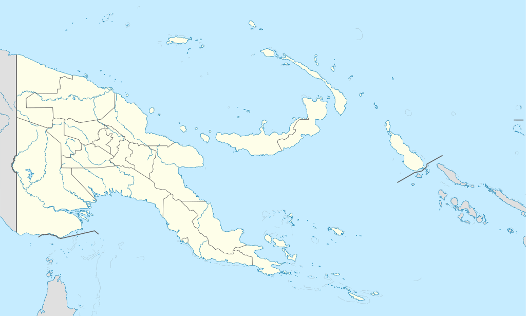
Deutsch: Positionskarte von Papua-Neuguinea
Quadratische Plattkarte. Geographische Begrenzung der Karte:
English: Location map of Papua New Guinea
Equirectangular projection. Geographic limits of the map:
|
| दिनाङ्क | 05-09-2008 |
| स्रोतः |
own work, using
|
| लेखकः | NordNordWest |
| अन्यानि संस्करणानि |
|


|
This map has been made or improved in the German Kartenwerkstatt (Map Lab). You can propose maps to improve as well.
|
अनुमतिदानम्
अहम्, अस्य कार्यस्य कृतिस्वाम्यवान्, अत्र अस्याः अनुमतिद्वारा प्रकाशयन् अस्मि :

|
अस्य प्रलेखस्य प्रतिकृतीकरणं, पुनर्वितरणं, परिवर्तनं वा / च कर्तुम् अधोनिर्दिष्टनियमानुसारम् अनुमतिः दत्ता GNU Free Documentation License, Version 1.2 or any later version published by the Free Software Foundation; with no Invariant Sections, no Front-Cover Texts, and no Back-Cover Texts. A copy of the license is included in the section entitled GNU Free Documentation License |
एषा सञ्चिका क्रिएटिव कॉमन्स-Attribution-Share Alike 3.0 Unported अनुमतिपत्रान्तर्गततया अस्ति ।
- त्वं स्वतन्त्रः/स्वतन्त्रा :
- वितरितकरणार्थम् – प्रतिलिपिकरणार्थं, वितरितकरणार्थं, सञ्चारितकरणार्थं च
- सुशोभयितुम् (to remix) – कार्यम् अनुकूलं करणार्थम्
- निम्नलिखितावस्थानाम् अन्तर्गततया :
- समारोपः (attribution) – भवता/भवत्या रचनायाः श्रेयः उपयोगसंस्थितकत्रा अथवा लेखकेन दर्शितमाध्यमेन दातव्यः भविष्यति । (परन्तु सः भवते/भवत्यै अथवा भवता/भवत्या रचनायाः प्रयोगस्य समर्थनं करोति इति तस्य विचारः न भवेत्)।
- समानतया वितर्यताम् – यदि भवान्/भवती एतस्मिन् कार्ये किमपि परिवर्तनं, अस्य आधारेण नवीनरचनां वा करोति, तर्हि नवरचितरचनायाः वितरणम् एतस्याः उत एतादृश्याः उपयोगसंस्थित्याः अन्तर्गततया कर्तुं शक्नोति ।
भवतः इच्छानुसारम् अनुमतेः चयनं कर्तुम् अर्हति ।
सञ्चिकायाः इतिहासः
सञ्चिका तत्समये कीदृशी आसीदिति द्रष्टुं दिनाङ्कः/समयः नुद्यताम् ।
| दिनाङ्कः/समयः | लघ्वाकृतिः | आयामाः | सदस्यः | टिप्पणी | |
|---|---|---|---|---|---|
| वर्तमानः | १५:४८, ५ जून् २०१२ | | २,२८० × १,३७० (५०१ KB) | NordNordWest | upd |
| ०७:४९, २६ मे २०११ |  | २,२८० × १,३७० (७६७ KB) | NordNordWest | Reverted to version as of 19:42, 8 December 2009 no need to revert | |
| २३:००, २५ मे २०११ |  | २,२८० × १,३७० (६७४ KB) | AlexR.L. | Reverted to version as of 19:51, 5 September 2008 | |
| १९:४२, ८ डिसेम्बर् २००९ |  | २,२८० × १,३७० (७६७ KB) | NordNordWest | + rivers | |
| १९:५१, ५ सेप्टेम्बर् २००८ |  | २,२८० × १,३७० (६७४ KB) | NordNordWest | {{Information |Description= {{de|Positionskarte von Papua-Neuguinea}} Quadratische Plattkarte. Geographische Begrenzung der Karte: * N: 0.6° S * S: 12.2° S * W: 140.4° O * O: 159.7° O {{en|Location map of [[:en:Papua New Guinea |
सञ्चिकायाः उपयोगः
अनया सञ्चिकया सह न किमपि पृष्ठं सल्लग्नम् अस्ति
वैश्विकसञ्चिकायाः उपयोगः
एतां सञ्चिकाम् अधोनिर्दिष्टाः वीक्यः उपयुञ्जते:
- af.wikipedia.org इत्यस्मिन् उपयोगः
- als.wikipedia.org इत्यस्मिन् उपयोगः
- Vorlage:Positionskarte Papua-Neuguinea
- Port Moresby
- Bismarck-Archipel
- Neubritannien
- Duke-of-York-Inseln
- Admiralitäts-Inseln
- D’Entrecasteaux-Inseln
- Lavongai
- Westliche Inseln
- Feni-Inseln
- Lihir-Inseln
- Tabar-Inseln
- Tanga-Inseln
- St.-Matthias-Inseln
- Vitu-Inseln
- Neuirland
- Louisiade-Archipel
- Marshall-Bennett-Inseln
- Woodlark-Insel
- Trobriand-Inseln
- Mount Wilhelm
- an.wikipedia.org इत्यस्मिन् उपयोगः
- ar.wikipedia.org इत्यस्मिन् उपयोगः
- ast.wikipedia.org इत्यस्मिन् उपयोगः
- Puertu Moresbi
- Nueva Bretaña
- Montes Herzog
- Archipiélagu Bismarck
- Islles del Duque de York
- Tabubil
- Islla Daru
- Estrechu de Dampier
- Islles del Almirantalgu
- Monte Lamington
- Archipiélagu de les Lluisiaes
- Aeropuertu Internacional de Jacksons
- Aeropuertu de Guasopa
- Puertu de Dreger
- Módulu:Mapa de llocalización/datos/Papúa Nueva Guinea
- Módulu:Mapa de llocalización/datos/Papúa Nueva Guinea/usu
- Islles d'Entrecasteaux
- Provincia de Nueva Bretaña Occidental
- Islles Trobriand
- Kitava
- Vakuta
अस्याः सञ्चिकायाः वैश्विकोपयोगस्य अधिकविवरणम् दृश्यताम् ।